
Fabric Maps
Producing Weather Independent Maps For Field Work
Comparing historic maps in the Dachstein region requires robust and weather‑proof cartographic materials. Fieldwork in high‑alpine environments exposes maps to rain, mud, and mechanical stress. Standard paper maps do not withstand these conditions. Durable map products are therefore essential for reliable orientation and for the systematic comparison of spatial change.
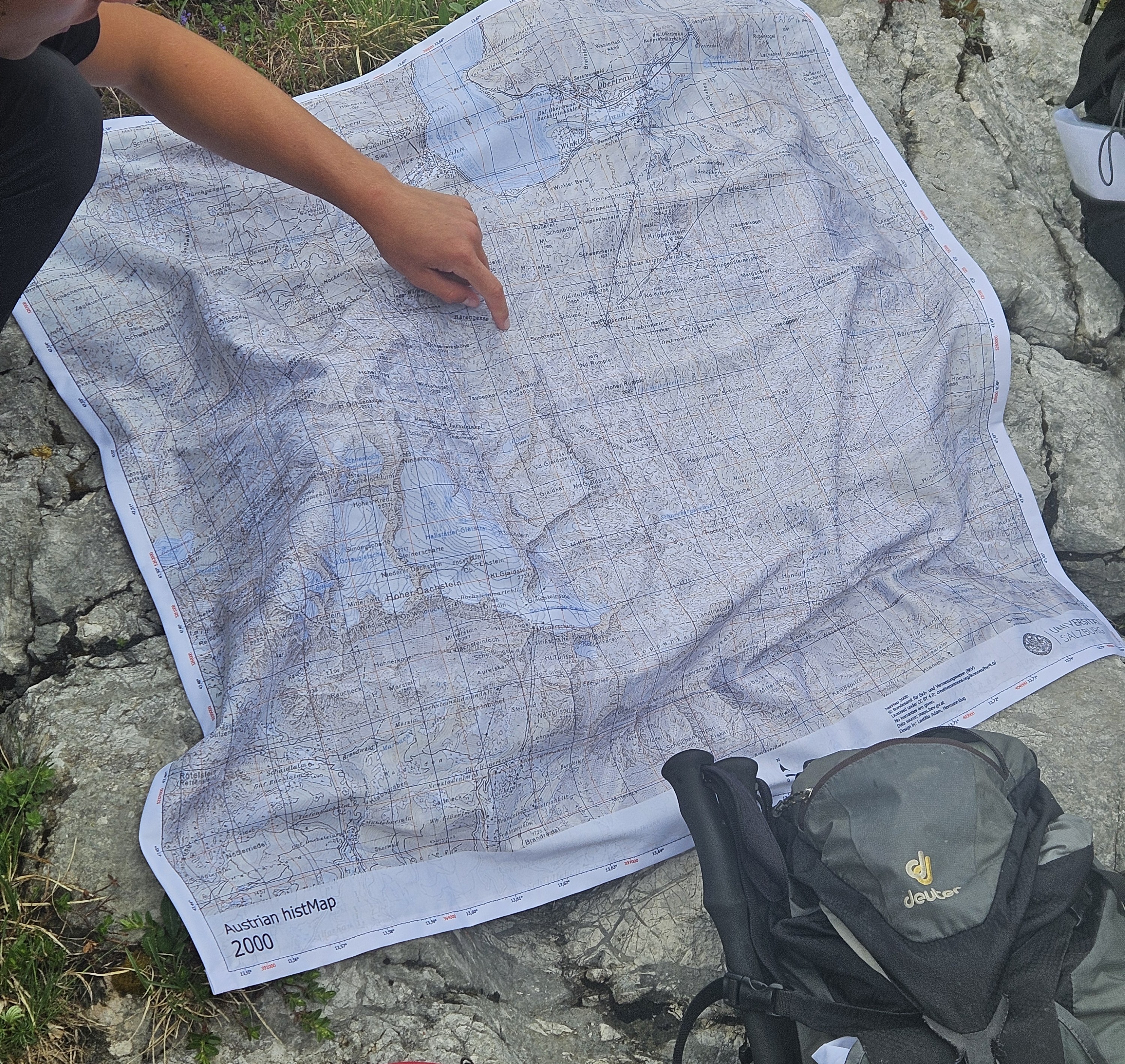 Fabric Map of Dachstein Glacier (Own Figure)
The project aims to produce layered maps on a fabric-based medium that supports intensive field use. A key objective is to establish a consistent map layout in ArcGIS Pro. One consistent map layout allows reproducing maps of equal extent but different time intervals. The documented workflow includes cartographic decisions such as embedded data sources, scale and projected coordinate system as well as design choices including font sizes, font families, colour settings and layout. Experiences from the interaction with cooperating printing companies are shared to pinpoint challenges in the printing process. The purpose is to make the process transparent and reproducible for further mapping projects. The outcome contains 13 maps: Nine historic maps ranging from 1850 to 2010, orthophoto, topographic map, geology and OpenStreetMap Landscape scene. The target group consists of university students exploring the Dachstein region.
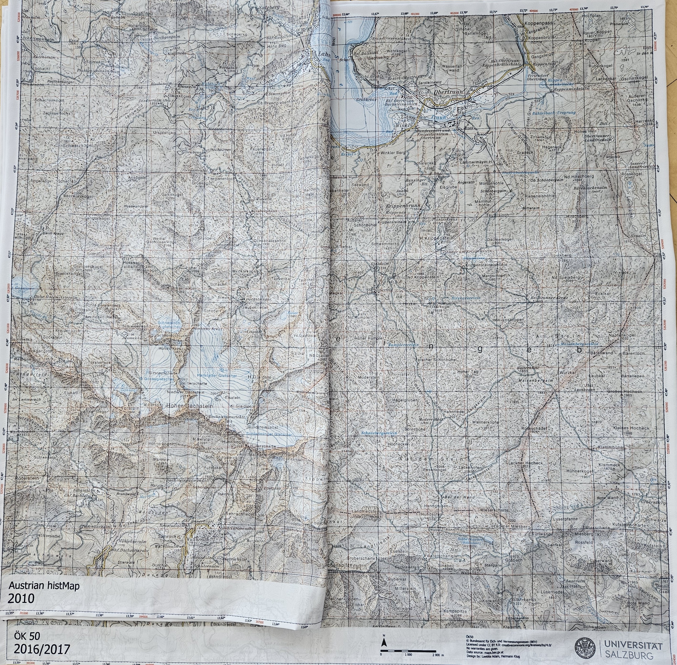 Print Results (Own Figure)